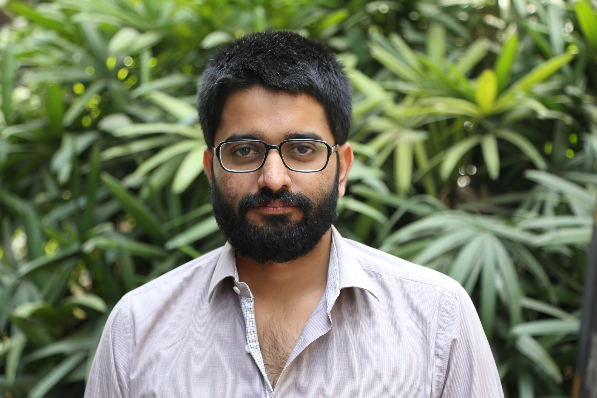
Teja Malladi is an architect, specialized in the use of geospatial technologies for disaster risk reduction and urban development. He has over 10 years of experience on various research and practice projects related to urban risk and resilience, post disaster damage and needs assessment, post disaster reconstruction, urban remote sensing, spatial informatics, geovisualisation and decision support systems for urban management and planning for risk reduction in urban areas. He has taught courses on urban disaster risk reduction, introduction to GIS and remote sensing, geovisualisation and using spatial information for monitoring SDGs. From 2013 – 2021, Teja worked with Indian Institute for Human Settlements (IIHS), where he led the IIHS Geospatial Lab, the center for spatial research, consulting and capacity building, and as Senior Practice Consultant with the Urban Risk and Resilience team. At the Geospatial Lab, he led a team of multidisciplinary researchers with expertise in geoinformatics, statistics, image processing, computer vision, machine learning and cartographic design. He led and contributed to several practice and research projects including those on disaster risk reduction for UNDP, CDKN, World Bank, IIED among others. He was also a faculty for the Urban Practitioners’ Programme and Urban Fellows Programme. Prior to IIHS, he worked as a Fellow at People in Center, Ahmedabad where he worked on projects related to capacity building for disaster safe construction, post disaster reconstruction and rehabilitation.
Teja holds a Masters Degree Geo-Information Sciences (GIS) and Earth Observation (EO), with specialization in Natural Hazards and Disaster Risk Management from the University of Twente, Netherlands, and a Bachelor’s Degree in Architecture from Jawaharlal Nehru Architecture and Fine Arts University, Hyderabad.


